The Baltic Sea has been subject to eastern winds and high air pressure for more than twenty days.
As a result some water from the Baltic Sea has been blown into the ocean through the Scandinavian straits. According to data by the Swedish Meteorological and Hydrological Institute, 200 km3 of water has left the Baltic Sea over the first two weeks of October.
Latvia's largest lake, the Rāznas lake, has a volume of about 0.4 km3. This means that water corresponding to 494 Rāznas lakes has left the sea.
The level of rivers, canals and lakes connected to sea has fallen as well.
Last time the water level was so low was in January and early February 2014. However back then the sea was covered with ice.
Phenomena comparable to the current sea-level drop were last observed several decades ago.
Water levels in Rīga on Friday were 65-80 cm below the usual and 55 below the norm in Liepāja and Ventspils, which are facing the open sea.
Sea levels are expected to rise starting Wednesday.
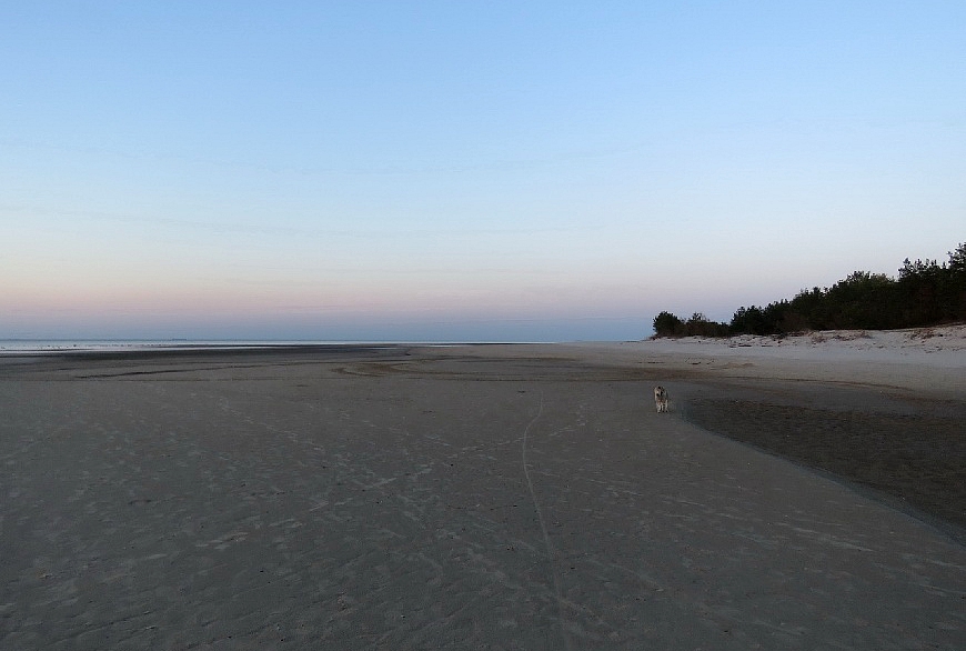
Here are photos from the Cape Kolka and the Liepāja beach.
The Cape Kolka, the famous 'point' at the top of western Latvia has "grown" by some 400 meters, prompting day-trippers to venture much further out onto the sands than was previously possible and revealing fascinating geology and evidence of sea life.
Tiem kam interesē bēgums pie Kolkasraga kartogrāfiskā izteiksmē. Mazliet ar puiku pastrādājām pic.twitter.com/sfo8bGKn3B
— Tālis Jēkabsons (@talisjekabsons) October 23, 2016
"Eastern winds allow looking at Cape Kolka from another angle," says a Twitter user.
austrumvēji ļauj skatīt Kolkasragu citā rakursā pic.twitter.com/AazFUs5l0b
— Vilnis Skuja (@SkujaVilnis) October 21, 2016
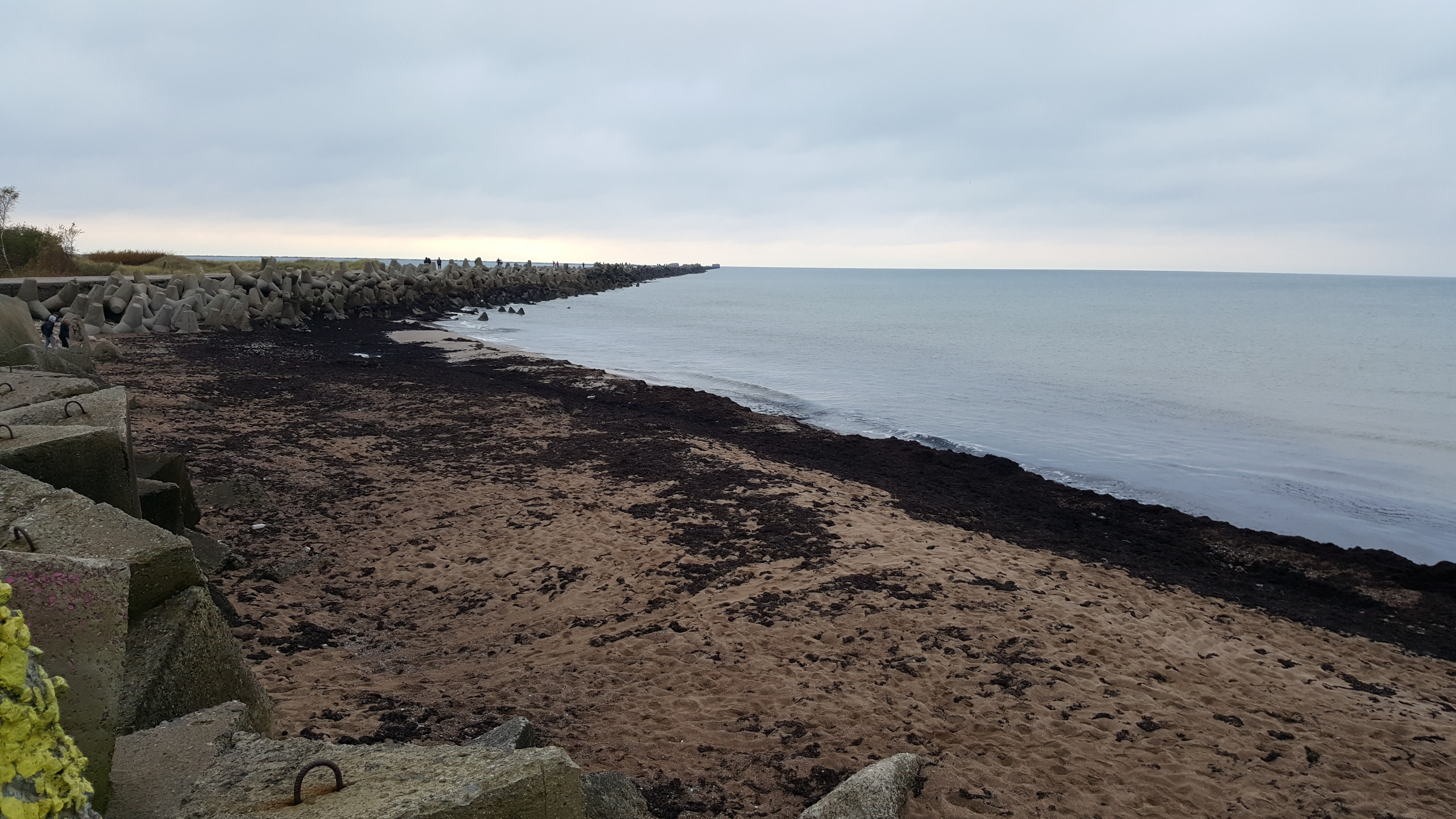
Photo: The northern pier in Liepāja. Author: Daumants Vidiņš.